History of the deegree project
Contents |
1. Early work
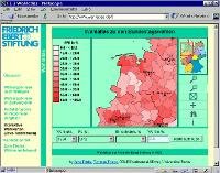
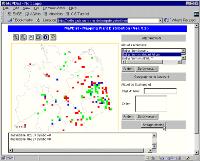
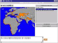
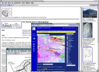
At the very beginning of what today is known as the deegree project a small group of geographers and software developers at the University of Bonn made an attempt to create a Java implementation of the the OGC Simple Feature Specification for CORBA, sometimes referred to as "sfjava". This work was carried out within the "EXSE GIS-EXperimental-SErver" project network which aimed at the experimental evaluation of the technical and practical potentials of GIS-applications in the World-Wide Web. The sfjava library was among others driven by and used in the applications for "Wahlatlas", "FLORKART" and "GROMS":
For more information, please refer to the Publications of 1999 and 2000.
The sfjava project was offically terminated by an email of Markus Müller late July 2001:
Subject: End of project...
Sender: Markus Mueller <mm@giub.uni-bonn.de>
Date: Mon, 30 Jul 2001 10:11:29 +0200
To: sfc2j@giub.uni-bonn.de

Hi all

the Simple Features from CORBA to Java project seems to be at its end, a
wrap-up can be found at:
http://katla.giub.uni-bonn.de/sfjava/welcome.html. The JaGo project
(http://katla.giub.uni-bonn.de/jago/) will be its successor. If nobody
disagrees this mailing list will be disbanded in a few weeks.

cheers

Markus

-- Markus Mueller Department of Geography Tel.: +49-(0)228-739666 University of Bonn Fax : +49-(0)228-739658 53115 Bonn, Germany mailto:mm@giub.uni-bonn.de http://katla.giub.uni-bonn.de/gisfe/gis/mitarbeiter/mueller.html
2. Jago
The conceptual foundation of Jago, which can be seen as a more elaborated follow-up of the sfjava approach, was originally laid down in a position paper by Andreas Poth in early April 2001. It introduced a user interface model, an event controler, metadata for all kinds of things and models for layers, feature collections and more complex geometries. Further more, a proposal for an implementation of the OGC Web Map Service was included, with a clear distinction of the process components as described in Adrian Cuthbert's famous OGC discussion paper on "User interaction with geospatial data":
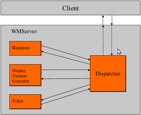
In the project specification which followed in late July 2001 a WFS component was added. It was envisioned that Jago would use the OGC interfaces even internally. Thus, the WMS would retrieve geospatial features from a datastore by using the internal WFS, a concept which survived in the deegree versions 1 and 2.
In 2002, an implementation of the OGC Gazetteer Service concept was added to the project. This work was carried out in the framework of the regional SDI of Northrhine Westphalia, Germany.
Jago technology was used in a variety of projects and applications, among which the most famous ones were the Catalogue Service Implementation within "GeoMIS.Bund" (the first German national SDI project), an SDI prototype for Luxemburg ("MISLux"), and the "Geohighlights" project:
3. deegree
As the domain jago.org appeared to not be available, in summer 2002 the project name was changed to "deegree". For a short period the old Jago code was still available in so-called JaGo/deegree releases on the new deegree.org domain. In parallel, a completely new implementation was started and at the same time deegree mailing lists and a publicly available code repository was established on Sourceforge. The first deegree alpha release was available in late August, basically including an OGC WFS with access to Oracle Spatial, followed by a WCTS implementation (OGC Web Coordinate Transformation Service) in September and an improved viewer application along with a Shapefile-to-GML converter in December 2002:
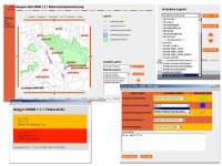
The first publicly available version of the deegree Web Map Service was released in Summer 2003 along with a WMS client web application (see screenshot below). The WMS had been developed within OGC's first CITE initiative (Compliance and Interoperability Testing and Evaluation) and was established as the official OGC reference implementation for WMS 1.1.1. A few months later (in September) the publicly available deegree demos included (among other features) a WFS on PostGIS, line labeling in the WMS and a Web Coverage Service with GeoTIFF support.
The next major step was deegree version 2 (AKA "deegree2") to become available in 2004.

